Contact Margaret Burt today for more information
About This Neighbourhood
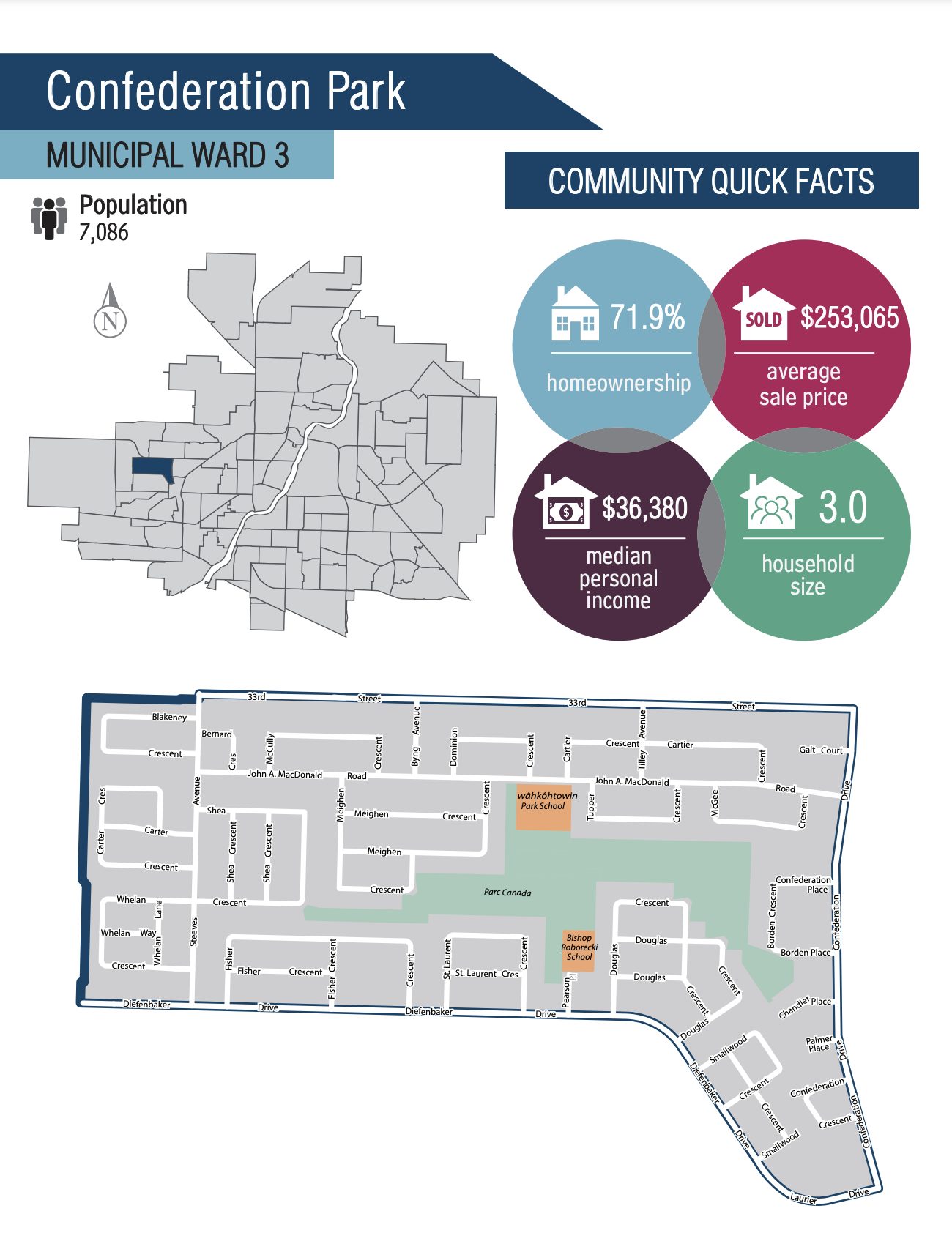
Located on Saskatoon's west side, Confederation Park is a large, established neighbourhood with a population of about 7,300 people. The average home price is just over $236,000.
The community first appeared on city maps in the late 1960s, with development commencing in the early 1970s. Most street names in the community are those of prominent politicians in Canadian history, primarily prime ministers, though others, including governors-general, have also been recognized. Full build-out of the neighbourhood did not occur until the mid-2000s with the construction of one final street, Blakeney Crescent, honouring former Saskatchewan premier Allan Blakeney. In 2012, a small extension to the community was indicated as part of the area concept plan for the neighbouring new area of Kensington, involving a short extension of Steeves Avenue to connect with a realigned 33rd Street. This will presumably facilitate the construction of a small number of additional dwellings.
In December 2023, John A. Macdonald Road was renamed miyo-wâhkôhtowin Road. The word is a translation of “good relationship” in the Cree language.
The suburb is fashioned around Parc Canada, a 40.5-acre (164,000 m2) park area comprising Bishop Roberecki School and Confederation Park School. The northern boundary is 33rd Street West and the eastern is Confederation Drive. The southern boundary is Laurier & Diefenbaker. Drives. To the west of the neighbourhood is Kensington.
Amenities
• Restaurant & Convenience Store
• 2 Schools - Confederation Park School (wâhkôhtowin School) & Bishop Roborecki School
• 40.5-Acre Parc Canada
• Close proximity to Confederation Mall

